Log in
All resources
Create a design
94 Free Images of French Language Maps Of Africa
bibliothèque nationale de france
university of texas at arlington
maps by pieter mortier
1667 sanson map of africa
colored engraving on paper
eran laor cartographic collection
maps from gallica
1719 maps of africa
guillaume sanson
jacques chiquet
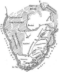
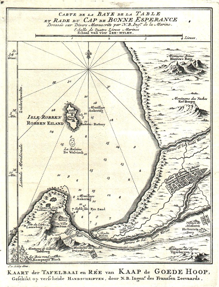
old maps of south africa
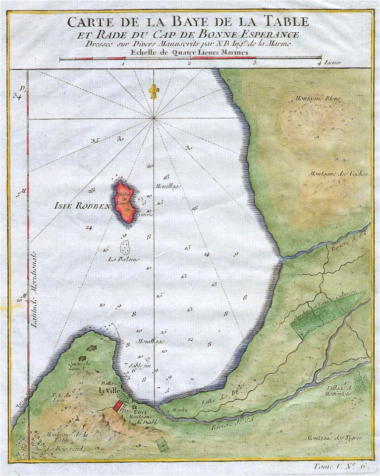
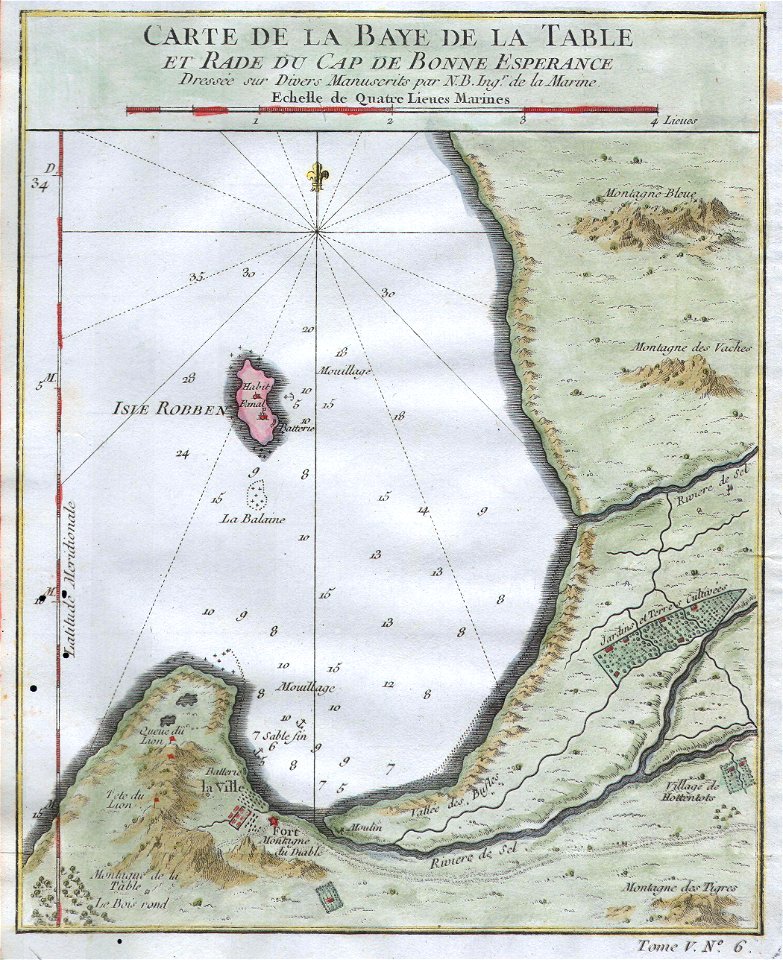
table bay
hatched coats of arms
atlantic ocean
old maps of south africa
table bay
maps by jacques-nicolas bellin
table bay
maps in musée de la compagnie des indes
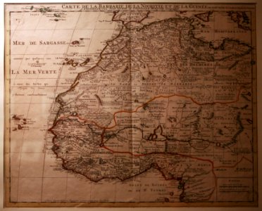
18th-century maps of africa
maps in musée de la compagnie des indes
works by guillaume delisle
maps by alain manesson-mallet
1719 maps of africa
maps by jacques-nicolas bellin
maps by jakob van der schley
1667 sanson map of africa
maps by nicolas sanson
maps by pieter mortier
1700 maps of africa
maps by louis brion de la tour
1766 maps of africa
bibliothèque nationale de france
1667 sanson map of africa
bibliothèque nationale de france
1667 sanson map of africa
eran laor cartographic collection
guillaume sanson
eran laor cartographic collection
guillaume sanson
17th-century maps of africa
maps from gallica
1667 sanson map of africa
1719 maps of africa
maps by jacques chiquet
1719 maps of africa
maps by jacques chiquet
1719 maps of africa
maps by jacques chiquet
1719 maps of africa
maps by nicolas sanson
jan van somer
maps by jacques chiquet
1719 maps of africa
maps by jacques chiquet
1719 maps of africa
maps by louis brion de la tour
1761 maps of africa
maps by louis brion de la tour
1761 maps of africa
maps by jean-baptiste bourguignon d'anville
1727 maps of africa
eran laor cartographic collection
guillaume sanson
1667 sanson map of africa
1669 maps of africa
eran laor cartographic collection
guillaume sanson
1880s maps of tunisia
maps from gallica
eran laor cartographic collection
pierre mortier
bibliothèque nationale de france
1667 sanson map of africa
maps by louis brion de la tour
1786 maps of africa
maps of rivers of equatorial guinea
komo (river)
1746 books about geography
1746 books from paris
bibliothèque nationale de france
1667 sanson map of africa
bibliothèque nationale de france
1667 sanson map of africa
19th-century maps of gabon
1877 maps of africa
17th-century maps of africa
maps from gallica
french-language maps of south africa
1876 maps of africa
eran laor cartographic collection
guillaume sanson
1727 maps of africa
1720s maps of egypt
1727 maps of africa
1720s maps of egypt
bibliothèque nationale de france
1667 sanson map of africa
tresor des cartes geographiques (1659)
1659 maps of africa
1720s maps showing history
1727 maps of africa
maps by pieter mortier
maps from gallica
maps by pieter mortier
maps from gallica
bibliothèque nationale de france
1667 sanson map of africa
bibliothèque nationale de france
1667 sanson map of africa
maps by pieter mortier
maps from gallica
le sénégal. la france dans l'afrique occidentale (1889)
orientalist painting
nouvelle géographie universelle
1887 maps of africa
1836 maps of africa
ambroise tardieu
16th-century maps of the western mediterranean
lucas janszoon waghenaer
eran laor cartographic collection
jacques chiquet
eran laor cartographic collection
alexis-hubert jaillot
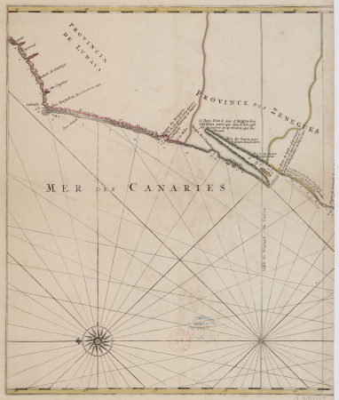
carte particulière des costes de l'afrique qui comprend le royaume de gualata ... - btv1b8595466g
maps by pieter mortier
carte particulière des costes de l'afrique qui comprend le royaume de gualata ... - btv1b8595466g
maps by pieter mortier
jean-fréderic phélypeaux
guillaume dheulland
historical
history
atlas minor gerardi mercatoris (1614, maps)
maps of africa by mercator-hondius
maps of peñón de vélez by braun & hogenberg
maps of tunis by braun & hogenberg
maps by pieter mortier
maps from gallica
maps of algiers by braun & hogenberg
bibliothèque nationale de france
1690s maps of the caribbean
1690s maps of the americas
maps by pieter mortier
maps from gallica
carte particulière des costes de l'afrique qui comprend le royaume de cacheo, le province de gelofo etc. - btv1b8595501g
maps by pieter mortier
1650s maps of the atlantic ocean
joan blaeu
19th-century maps of africa
raymond bonheur
carte de barbarie, nigritie, guinée par guillaume delisle (1707)
bibliothèque nationale de france
1690s maps of the ottoman empire
guillaume sanson
context files from gallica
lucas janszoon waghenaer
context files from gallica
lucas janszoon waghenaer
maps of the south atlantic
guillaume dheulland
atlas géographique des quatre parties du monde (delisle)
18th-century maps of africa
maps published by hendrik de leth
algiers in the 18th century
le sénégal. la france dans l'afrique occidentale (1889)
orientalist painting
le sénégal. la france dans l'afrique occidentale (1889)
orientalist painting
le sénégal. la france dans l'afrique occidentale (1889)
orientalist painting
le sénégal. la france dans l'afrique occidentale (1889)
orientalist painting
jean-fréderic phélypeaux
guillaume dheulland
carte des régences d'alger by hérisson
bibliothèque nationale de france
jean-fréderic phélypeaux
guillaume dheulland
carte des régences d'alger by hérisson
bibliothèque nationale de france
carte des régences d'alger by hérisson
bibliothèque nationale de france
navigantium atque itinerantium bibliotheca
1744 fleurons
maps by emanuel bowen
1744 fleurons
1760s maps of the americas
jean janvier
maps by emanuel bowen
1744 fleurons
18th-century maps of antarctica
1741 maps
navigantium atque itinerantium bibliotheca
1744 fleurons
navigantium atque itinerantium bibliotheca
1744 fleurons
german renaissance
1744 fleurons
1 - 94 of 94
/ 1


![Treasure of geographical maps of the main states of the universe [...], 1659](https://cdn.creazilla.com/illustrations/10001227179/treasure-of-geographical-maps-of-the-main-states-of-the-universe-1659-md.jpg)